APRS county coverage drill
County-wide APRS simplex coverage mapping drill — two member-built iGates on mountaintop sites, field teams retracing routes in cell-connected then RF-only phases, all data captured for a post-exercise coverage map. Designed to answer: where in DeKalb County can a station reach others via simplex if 146.760 fails?
The question this drill was built to answer
“If the 146.760 repeater fails, where in DeKalb County can our members still reach each other on simplex?”
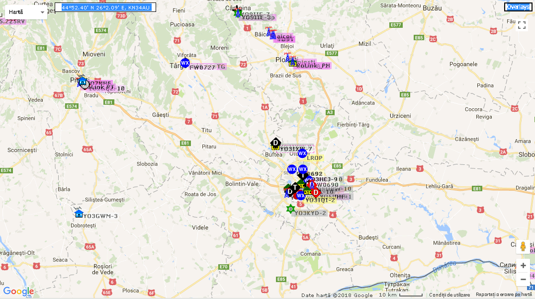
The March 21 exercise was a county-wide APRS coverage mapping drill designed to produce real, geo-tagged data answering that question — not just an opinion-survey of which neighborhoods seem to have “good coverage.” The output is a colored map of DeKalb County showing simplex-capable zones, coverage gaps, and digipeater-dependent areas.
How it ran
Two iGate nodes on mountaintops
Two member-built iGate / digipeater nodes were deployed concurrently at high-elevation sites:
| Node | Operator | Site |
|---|---|---|
| Node A | Scott Sheppard, KJ4ZZB | Stone Mountain summit |
| Node B | John DeRoo, K4VER | Arabia Mountain summit |
Each node ran a 50W mobile radio into a foldable J-pole on an elevated mast, powered by 12V battery, and connected to APRS-IS via Starlink or cellular hotspot. Both nodes had to be on-air and confirmed before field teams were cleared to depart.
Field teams in two phases
Teams of two operators each were dispatched to assigned sectors of the county, with paper waypoint cards (Waypoint A and Waypoint B per sector). The drill ran in two distinct phases:
Phase 1 — Cell-connected baseline (-5 SSID). Teams traveled from
Waypoint A to Waypoint B beaconing every 60 seconds via APRS-IS over
cellular data. This established a clean cell-side track of where each
team actually went.
Phase 2 — RF-only (-9 SSID). Teams retraced the route, with
APRS-IS disabled and beaconing 60-seconds on RF only — 50W mobile
where available, HT at maximum power otherwise. Each RF beacon was
then either (a) received by one of the iGates and uploaded to APRS-IS,
(b) digipeated and then iGated, or (c) not heard at all by any
infrastructure — silently dropped. Each of those three outcomes is a
data point we wanted.
The two-phase design lets us compare, point-by-point, where cell worked but RF didn’t — those are the simplex coverage gaps.
Roles on the day
Beyond the field teams and iGate operators, the drill scoped four home-station roles so members without APRS gear or field availability could still participate:
- Net Control on 146.760 MHz, managing voice coordination, phase transitions, and team status
- Situational Awareness Monitor — home station, watching NWS alerts (zone GAC089) and Georgia DOT 511 for road conditions, relaying SITREPs to NC every 30 minutes
- APRS Monitor — home station, running a custom DKARES APRS Exercise Monitor tool that polled the aprs.fi API and color-coded every captured packet by phase and link type for export as the post-drill CSV
- Net Control Shadow (receive-only) — listening to the full net and independently logging every transmission, then comparing against the official NC log as a Net Control training pipeline
Frequencies + protocol
- Net Control: 146.760 MHz (− offset, PL 107.2 Hz)
- APRS: 144.390 MHz (standard North American APRS)
- Beacon path:
WIDE1-1,WIDE2-1 - Comment field:
DKARES DRILL P1orDKARES DRILL P2to make the exercise packets easy to filter from normal APRS traffic - Duration: ~2–3 hours field time
Outcome
Field data from both phases — APRS.fi API exports, TNC packet logs from both nodes, paper logs from each team — was compiled into a county-wide coverage map identifying simplex-capable zones, dead spots, and areas dependent on digipeater relay paths. The dataset directly informs DeKalb ARES communications planning and was the foundation for the W4BOC-1 permanent iGate deployment at Stone Mountain a month later, on April 20.
The post-drill discussion happened across several DeKalb ARES Groups.io threads through late March, and was formally recapped at the April 18 monthly meeting — see the recap entry for the lessons learned, action items, and the subsequent W4BOC-1 deployment that came directly out of this exercise.