Severe weather net activation
DeKalb ARES activated a severe weather net during a significant storm system affecting metro Atlanta — a fast-moving line of storms that produced damaging winds, large hail, and three EF-0 tornadoes across the metro, including one in DeKalb County near three schools.
The storm
A powerful cold front brought severe thunderstorms across north Georgia and metro Atlanta in the early hours of Monday, March 16, 2026. The leading edge of the line carried 70+ mph damaging winds, spin-up tornadoes, and isolated large hail. The NWS Peachtree City office issued a Severe Thunderstorm Warning covering Banks, Barrow, Clayton, DeKalb, Forsyth, Gwinnett, Hall, Henry, Jackson, Rockdale, and Walton counties through 6:45 AM Monday.
DeKalb County impacts
NWS Peachtree City later confirmed three EF-0 tornadoes touched down across metro Atlanta during the early-Monday storms — one in DeKalb County and two in Upson County. The DeKalb tornado:
- Maximum winds of 75 mph
- Remained on the ground for about 2.7 miles, tracking along Salem Road
- Passed near three area schools — Browns Mill Elementary, Salem Middle School, and Bowie Elementary
By dawn the system was clearing the metro, but the impacts were significant: more than 42,000 customers without power across the metro, a ground stop at Hartsfield-Jackson, 400+ flight delays and 200+ cancellations, and three-hour security wait times at the airport later that morning.
Coverage of this event
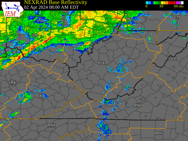
Photo and video documentation of the DeKalb tornado, the wider line of storms, and the morning’s damage assessment is available from the local outlets listed in the Sources section below — including the WANF damage photos, FOX 5’s coverage of the Salem Road track, and the DeKalb County emergency notification. The image at the top of this entry is generic NEXRAD radar imagery for illustration only.
What DeKalb ARES did
The net opened on the primary repeater in the late evening of Saturday, March 15, as the forecast confidence in damaging straight-line winds and tornadic potential firmed up. Net Control maintained situational awareness across the county overnight as the line crossed metro Atlanta, taking in storm reports from members, relaying NWS updates, and monitoring the Skywarn channels.
The activation was a textbook use case for the kind of net DeKalb ARES practices weekly: real-time, ground-truth observations across the county that filled in around the gaps between formal NWS spotter reports and county EOC channels — the value of trained amateur operators sitting at home with HF/VHF gear and a window.
Members were also asked to file post-event observations to the DeKalb County severe-weather form for situational awareness; the form remains open between activations and is the recommended channel for non-emergency weather reporting (call 911 first if there’s an emergency, then if safe, file the report).
Sources:
- Severe storms move through metro Atlanta — Rough Draft Atlanta (Mar 15)
- Live updates: Severe storms move out, thousands without power — Atlanta News First (Mar 16)
- 3 tornadoes touched down during Monday’s storms, NWS says — Atlanta News First (Mar 17)
- EF-0 tornado spins across DeKalb County — FOX 5 Atlanta
- Emergency Weather Alert — DeKalb County GA